|
Virtual Tour
as seen from the James Bay Road
Trail along the north shore
Page 8 of 10 |
|
|
|
|
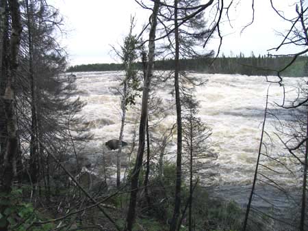
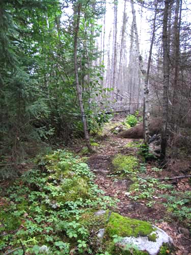
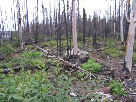
If you hike upstream from the first viewing platform, this is
what the trail looks like. It's very hard to scramble through this without getting your
clothes covered with charcoal.
|
|
|
|
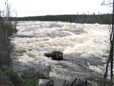
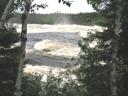
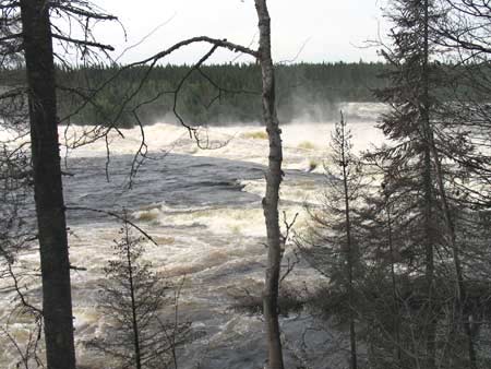
Upriver from the main rapids. |
|
|
|
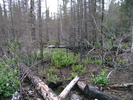
There are the odd isolated patches of forest that were spared from the
flames. |
|
|
|
|
|
|
|
|
|
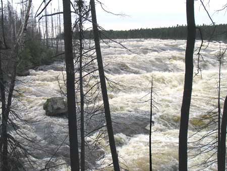
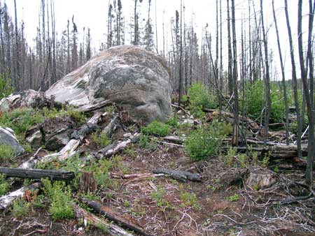
This large boulder is near the location of the second viewing platform (of
which virtually no sign remains). |
|
|
|
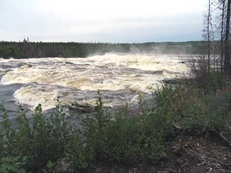
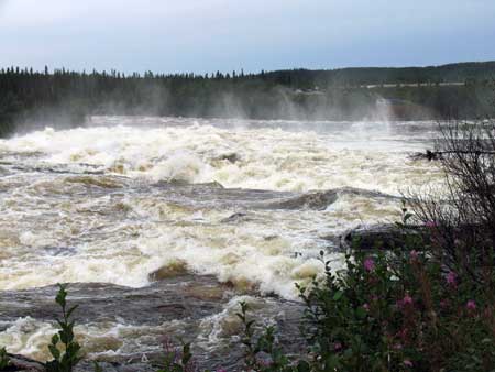
Turning around at the large boulder and walking back downriver, you
can see the main rapids up ahead. |
|
|
|
|
|
Even though the forest was largely destroyed by the fire, notice how the plants are coming back. |
|
|
|
Just upriver from the massive main set of rapids. |
|
|
|
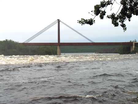
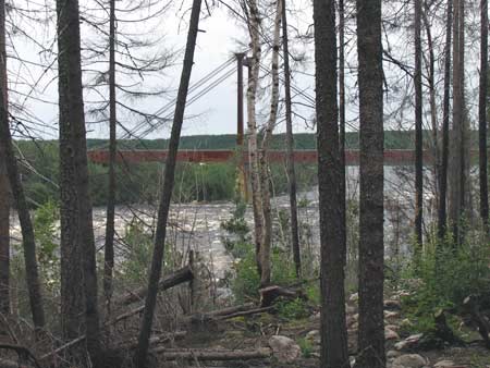
A far away view of the bridge over the Rupert River. |
|
|
|
As you make your way back towards the Road, the bridge comes into
view through the trees, closer. |
|
|
|
|
Previous
Next |
|
|